
Comal County Neighbors by Block
For nearby neighbors, start with the parcel rather than a broad name search. The county tax account can lead to a recorded owner and physical property location. The GIS map shows the shapes and roads surrounding that parcel. A recorded plat can then explain the subdivision, lot, block, or road relationship. Each source has a narrow purpose. A tax account is an ownership or billing lead, a map is geographic context, and an association record is a civic contact lead. None should be treated as a complete household roster.
| Source | What It Shows About a Block | Access |
|---|---|---|
| County GIS and open data | Approximate parcel shapes, roads, subdivisions, and district context | County GIS landing page and linked interactive maps |
| Tax and property account | Recorded owner, property location, mailing address, account and payment-status fields | Comal tax search |
| Recorded plat and deed | Lot, block, subdivision, legal description, grantor and grantee trail | Clerk Plat Viewer and ROAM |
| Texas voter-record route | Registration information subject to request rules and confidentiality limits | Individual status service or Texas SOS public-information request |
| Community organization records | Association name, governance or civic contact paths, when published | HOA certificate search and Neighborhood Watch resources |
A deed or tax account identifies an owner, not necessarily the person at the physical address. A nearby parcel can also be held by an estate, trust, business, or owner who receives mail elsewhere. Note: Comal County GIS boundaries are informational and must not be used as survey evidence.
Comal County GIS Block Shapes
The County Engineer’s GIS and open-data site is a map-first starting point for Comal County neighbors. Search or pan to an address when the live app supports it, turn on the parcel and road layers, and select the target shape. Then inspect the immediately adjacent parcel boundaries before opening the corresponding property record. The county lists district, subdivision, flood, and environmental mapping alongside its road and parcel context, although the exact layer list can vary by live application.
The map is useful because Comal County is more than New Braunfels. Canyon Lake, Spring Branch, Bulverde, Garden Ridge, Schertz-edge areas, and unincorporated communities follow different city, ETJ, postal, and subdivision boundaries. County QuickFacts reports growth from 161,501 people in the 2020 Census to a 2025 estimate of 209,166. That growth makes a current parcel check more useful than assuming a familiar neighborhood label defines a block.
New Braunfels Quick Links collects official municipal routes for maps, permits, cemetery search, public-record requests, and related civic services.
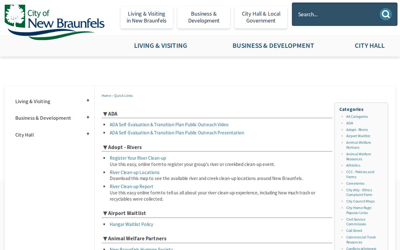
The city hub is helpful when a particular parcel lies within New Braunfels jurisdiction, but county GIS and Clerk records remain the core sources for the land trail.
Map a Comal County Neighbor Block
Use a small, repeatable flow for Comal County neighbors: address to parcel map, parcel map to surrounding parcel shapes, then each shape to an ownership record. The goal is to understand the block without turning physical proximity into an identity claim. If a result does not share the same street segment, subdivision, or legal context, leave it out. For a whole named street, use the more detailed Comal County street directory workflow instead.
- Search the physical address in the property search. Choose Property Location, which uses the street number and street name without the direction or street type.
- Save the account number, owner, property location, and mailing address in separate notes. The tax form treats them as different fields.
- Open the GIS map, locate the target parcel, and click or identify the parcels sharing a boundary or immediately surrounding the address.
- Check each selected parcel against its tax account. Use the recorded plat to reconcile lot, block, subdivision, or a road that looks discontinuous on a map.
- When ownership history matters, search the current owner as grantee in ROAM and compare legal descriptions before connecting records.
The Comal tax form accepts owner names in Last First order and account numbers with dashes. It also offers account type, inactive-account, and paid-status controls. Those practical form details help prevent a broad block search from mixing a mailing address with a property location.
Comal County Neighbor Parcel Records
Maps provide a shape, not final proof. The Comal County Plat Viewer supplies unofficial downloads of recorded plats and revisions. A plat can translate a street address into subdivision, lot, and block language. That makes the connection to the County Clerk’s official-record index more reliable, especially in a development where a street label is new or has more than one segment.
ROAM public access supports registration, login, and subscription controls. The Clerk’s quick tips describe Official Public Records filtering by recorded date, party role, and document type. Search a current owner as grantee to locate a purchase record, then use the grantor as an earlier ownership lead. Recorded instruments can contain redactions and the portal landing page does not state its full online coverage start year. For legal proof, request a certified copy from the Clerk rather than relying on a search-result screen.
- Parcel
- A defined piece of land represented by an account or mapped boundary. It is not a list of the people inside a building.
- Situs address
- The physical property location, distinct from an owner’s mailing address in the tax account.
- Plat
- A recorded map that lays out a subdivision, lot, block, street, easement, or other land geometry.
- Legal description
- The recorded land description used to match deeds and plats when a street number is missing or changes.
Comal County Neighbor Civic Contacts
Community records can add a civic contact layer without disclosing a private membership list. The Texas HOA management-certificate search can be filtered to Comal County and reports association name, county, city, ZIP, and POA or COA type. A management certificate is a governance and contact lead, not evidence that a particular person lives at a parcel. The New Braunfels Downtown Association, Conservation Society, Sophienburg Museum and Archives, and local Chamber resources can also explain the history of a downtown or historic community.
Texas HOA Certificate Search
Comal County association name, location, and association-type leads.
Comal Neighborhood Watch
County-supported organization, registration, training, and safety resources.
Sophienburg Archives
Appointment-based local history, maps, oral histories, and genealogy holdings.
These sources work best for local-history context, a civic point of contact, or a community project. They are not substitutes for a property record or a person’s consent to contact them.
Comal County Neighborhood Watch
The county’s Neighborhood Watch program offers a safer civic route than trying to assemble private household information. The Sheriff’s material says groups can organize through existing associations, coordinate with law enforcement, hold meetings, and use registration and training resources. A local group may preserve information about community projects, emergency readiness, or the history of a street, but membership and participant details should not be assumed public.
Comal County’s Neighborhood Crime Watch page provides the county program’s registration and training links.
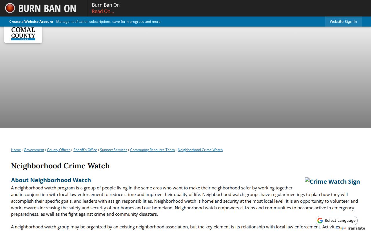
The program supports neighbors who choose to work together on safety and preparedness. It does not authorize monitoring or collecting information about people without a lawful reason.
Comal County Voter Record Limits
Texas voter information is not a ready-made neighbor list. The VoteTexas route is designed for a person to check or update their own registration. A separate Texas Secretary of State public-information form can request voter data with choices for county, precinct, status, effective-date range, age, surname flag, sex, and participation history. It does not reveal ballot choices, and Texas does not register voters by party. A nonvoter should never be inferred to be absent from a block.
Texas Election Code §13.004 and related rules protect certain residential information. The Attorney General Address Confidentiality Program can provide a substitute mailing address for eligible people, and qualified judges, peace officers, and others may have statutory protection. The Comal Voter Registrar is the right contact for correcting a record or asking about an authorized request; protected entries may not appear in an ordinary county file.
Comal County Neighbor Tools Compared
Official records and commercial neighbor tools answer very different questions. A paid compilation may combine public records, marketing data, and user submissions, which can be stale or merge people with similar names. It may omit protected records. The official source is narrower but lets a reader see which custodian owns the data and which field was actually searched.
| Route | Best Use | Limit |
|---|---|---|
| County tax, GIS, plat, and Clerk records | Parcel ownership, land identity, and recorded instruments | Does not prove every current occupant |
| Official civic or association resource | Community history, governance, and public contact routes | Not a private member roster |
| Commercial compilation category | Possible starting lead to verify elsewhere | Accuracy, coverage, and update timing may be unclear |
Use a specific official record to resolve a mismatch. A mailing address, a same-name record, or a map pin is not enough to establish that two results represent the same neighbor.
Comal County Neighbors Privacy Limits
Some important facts about a block remain private. Nonowners, people not registered to vote, people protected by confidentiality programs, and many household members will not appear in the usual records. DMV and utility customer data are not general resident-search sources. Recent vital records, sealed or expunged court records, protected voter addresses, and confidential adoption information have separate access rules. Do not fill those gaps with assumptions from nearby parcels.
Lawful use. Comal County neighbor research can support civic curiosity, family history, property questions, and community safety awareness. Do not use public records to watch, threaten, stalk, harass, or harm anyone.
Texas Penal Code §42.072 addresses stalking and §42.07 addresses harassment. If a record appears inaccurate, contact the agency that created it. If a block requires a broader street history, move to the official property, GIS, plat, and Clerk sources rather than expanding a neighbor search into private-person tracking.